Be part of the conversation: azarchitecture/Jarson & Jarson Architecture blog covers architecture and civic topics that comment on what’s happening in the Valley’s diverse design community. Here’s what’s happening now:
 in <b>/var/www/vhosts/psstudiosdev.com/httpdocs/azarchitecture/wp-content/themes/azarchitecture/single-post.php</b> on line <b>31</b><br />
https://azarchitecture.psstudiosdev.com/wp-content/uploads/2013/10/HyView_Musing_Image1.jpg)
Hy-View Subdivision – Part 1 of 2
We asked azarchitecture contributor Walt Lockley to bring you the remarkable history of the National Monument you never knew we had:
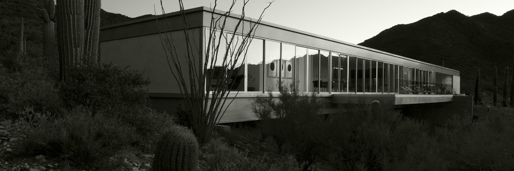
I’d like you to rent the property that Jarson & Jarson has listed in the Hy-View subdivision near the Scottsdale border. That would be great if you could do that. Hy-View is an attractive subdivision developed in 1960, all vintage modernist houses, along the Cross-Cut Canal, on the border of Phoenix and Scottsdale, with Papago Park within walking distance.
You should know more about your new backyard, Papago Park. I’ve always gotten a funny feeling about it, just a background suspicion about land-use decisions, especially southbound on 64th.
Let’s take a walk and I’ll tell you what I found out. I suggest parking at the Arizona Historical Society Museum, always with plenty of empty spots, near the southeast corner of the whole park, and head west on foot uphill. Stroll up past that relocated 1958 O’Connor house. Then up the “Lizard Trail” towards the rise ahead of you. Once on top, that ridge gives you a surprisingly nice view of downtown Phoenix, the airport, and downtown Tempe.
Down below you, where you least expect it, there’s a big pool of water in a half-circle. A whole SRP installation lies concealed down here. Let’s head down. There’s a good official trail and it’s about three degrees cooler. The history of Papago Park from the 1910s onward is usually described in a hazy way that tends to clear up if you ignore the beautiful red sandstone scenery, look down, and follow the water.
This half-circle pool is a desilting basin where the surface part of the Cross-Cut Canal stops. The pool dates from 1938; the canal dates from 1913, constructed by SRP and the Bureau of Reclamation, from the first generation of the Bureau’s projects. Exactly a hundred years ago the Bureau was full of helpful, innocent, constructive energy. The canal connects the Arizona Canal and the Salt River and runs right behind your comfortable rental house in Hy-View we just talked about, remember.
You see that set of concrete arches and a sort of bedraggled spillway? If you followed that rocky stream down to our left, which is south, across Mill, you’d find a massive poured-concrete hydroelectric power station built in 1914, 175 feet long, 42 feet tall, with six huge turbines and the whole deal. That power station supplied about half of the valley’s power needs up through 1938. It’s still there, hidden in plain sight, stranded in a parking lot. You’ve driven past it on Mill a thousand times. Evidently it can still crank out 4 to 6 megawatts when SRP wants it to. What you also don’t see are two huge underground penstocks full of water, twin hydro loading chambers like a giant double-barrelled shotgun, buried in a straight line from the pool to the power station. You’ve driven over them on Mill a thousand times. Who knew?
Here’s where the history gets a little vague. In January 1914, 2050.43 acres of the site were set aside by President Wilson as the Papago-Saguaro National Monument, at the absolute insistence of Representative Carl Hayden. The year 1914 was only the third year of Hayden’s successful 56-year project to re-arrange the American west to his liking. But he was already an effective horse-trader.
The 1914 Monument request of Hayden’s bent the law pretty badly. It was contrary to the intent of designating monuments. There was nothing historic here worth preserving. The proclamation language tried to compensate: “…splendid examples of the giant and many other species of cacti and the yucca palm, with many additional forms characteristic of desert flora, grow to great size and perfection and are of great scientific interest, and numerous prehistoric pictographs of archaeological and ethnological value.” Wilson signed it anyway, two and half years before the National Park Service even existed, parking the land in government ownership limbo, preventing any development around the waterworks, creating Papago Park as a side effect.
In this era a sporty and enterprising spirit in the surrounding community motivated a lot of picnics and day camping on site, the removal of many valuable saguaro for private enjoyment at other locations, probably some target practice with long-barreled revolvers, and definitely painting some ugly advertisements on the red rocks. By 1923 it had been nibbled down to 1940 acres.
In April 1930 the U.S. government turned around and abolished the National Monument. At the absolute insistence of Carl Hayden. Because it was “neglected”. You’ll find that weak rationale repeated in various sources without question or comment. Papago Park was given back to the state of Arizona, with small sections granted to the Arizona National Guard, to Tempe, and a portion sold at $1.25 per acre to the Salt River Project.
Furthermore. In another Act of Congress on July 7 1932 the U.S. government accepted ownership of “certain lands” in this area from Arizona and Tempe, which were immediately granted back to SRP. Also in 1932 Governor Hunt got his long-sought wish to construct a bass fish hatchery here, a crazy place for one unless it was more about water than fish. On November 17 1937, by Act of Congress, all of the remaining lands within the park were conveyed to Arizona for park purposes — again, twenty years before the Arizona State Park system existed, back into a limbo of unmanaged government ownership.
All of which sets the stage for Papago Park’s wartime service. Next time.